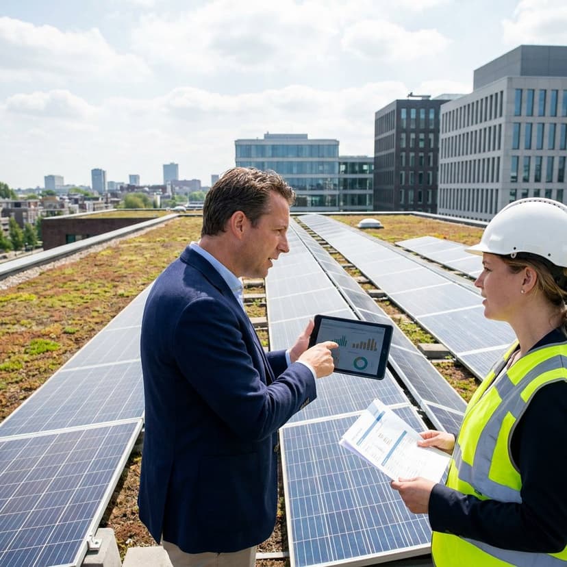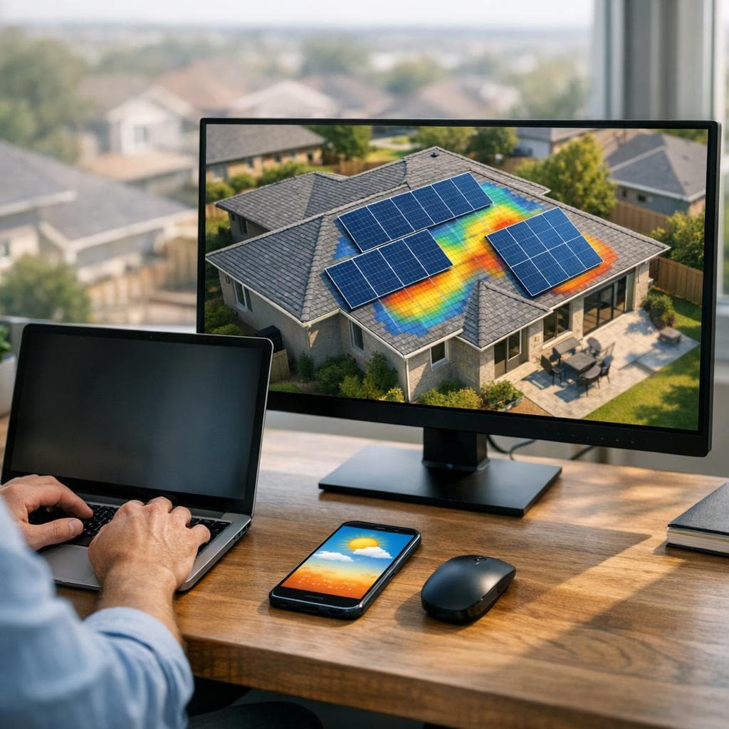
Remote solar site assessment lets you qualify, design and quote PV projects without sending a crew on-site. By combining aerial imagery, LiDAR, 3D modeling, shade and weather data, you can produce bankable layouts and proposals in minutes. For EPC contractors and installers, this cuts travel, speeds sales cycles and standardizes quality across teams. With Enervio’s AI-driven platform, you gather property attributes, simulate energy output and generate personalized proposals fast – unlocking higher close rates with lower operating costs. For a virtual-first workflow, see how to run an AI-powered solar consultation.
Why remote assessments now outperform on-site visits
Traditional surveys are slow, costly and inconsistent. Remote workflows bring the accuracy of high-resolution data and the repeatability of software, at scale. You move faster from lead to proposal, validate feasibility earlier and reserve field time only for projects that are truly ready to build. Not sure about terminology? Compare a solar site survey vs. site assessment to know when each is needed.
| Aspect | Remote assessment | On-site visit |
|---|---|---|
| Speed | Minutes per site | Hours to days |
| Cost | Low – no travel | High – labor and travel |
| Accuracy | High with LiDAR, 3D, shade sims | Varies by crew skill |
| Scale | Multi-site portfolios | One site at a time |
| Safety | No roof access | Roof work required |
How a remote solar site assessment works
- Capture the site scope: address, building type, load profile and goals.
- Pull data: high-res aerial imagery, LiDAR elevation, parcel and roof geometry, nearby obstructions.
- Auto-build a 3D model: roof planes, pitch, azimuth, ridges, hips, parapets and setbacks.
- Run shade analysis: simulate sun paths and horizon to map annual solar access per roof plane.
- Model production: apply irradiance and weather data, system losses, inverter clipping and soiling.
- Optimize and propose: place modules, size BOS, estimate energy yield and generate a branded proposal with pricing and incentives.
During discovery, use structured prompts to gather accurate homeowner data.
With Enervio, these steps are orchestrated by AI so you can deliver a complete, sales-ready proposal in about five minutes.
Core data sources and modeling
Aerial imagery and LiDAR integration
High-resolution aerial imagery provides current roof conditions, while LiDAR adds precise elevation data for roof slopes, tree canopies and nearby structures. Together they deliver accurate roof geometry and obstruction heights, critical for panel placement and setback compliance. For commercial flat roofs, LiDAR helps distinguish HVAC units, skylights and parapet heights so you can place modules and walkways to code. For residential pitched roofs, combining imagery with LiDAR improves ridge detection, azimuth and pitch estimates that directly affect energy modeling. Enervio ingests these layers and aligns them with parcel boundaries and local codes so your designs reflect real-world constraints before anyone steps on a ladder. For pre-screening structural considerations, evaluate whether the roof is strong enough for solar.
3D modeling for roof and terrain accuracy
Photogrammetric techniques and elevation data generate a site-specific 3D model. That model drives accurate module spacing, setback buffers, ballast or attachment counts and conduit runs. It also improves fit checks for carports and ground mounts when terrain undulates, reducing rework after engineering review.
Shade and energy modeling
Shade analysis simulates the sun’s position throughout the year to quantify solar access for each roof plane. Trees, chimneys and neighboring buildings are evaluated to find the best module layout and stringing. Energy modeling layers in plane-of-array irradiance, temperature effects, inverter efficiency, DC-AC ratios, and site losses. The result is a defensible annual production forecast that sales, engineering and financing can trust. For methodology, see how to calculate solar access and TSRF.
Weather and irradiance data
Bankable energy estimates require robust weather inputs. Typical meteorological year datasets, satellite irradiance, albedo and temperature normals inform hourly production curves and seasonal variability. Enervio fuses these datasets to match the project’s exact coordinates, so yield estimates and payback timelines stay realistic across climates.
From analysis to proposal – automation for EPCs and installers
Once the system is modeled, automation handles the heavy lifting: bill-of-materials, layout exports, single-line diagram starters, pricing scenarios and incentives. You can compare options like module types, microinverters vs string inverters or tilt strategies without rebuilding the design. For multi-site portfolios, batch assessments and standardized templates keep proposals consistent across regions. To operationalize this across teams, explore building a remote solar sales process. Enervio integrates with your CRM and workflows, helping teams move from lead to signed proposal up to 10x faster with 24/7 AI and human support.
To understand how assessments feed into permitting and QA, read Solar site inspections 101.
FAQ
What is a solar site assessment?
A solar site assessment evaluates whether a property can host a PV system that meets goals for energy, budget and timelines. It measures roof or ground suitability, shading, structural and code constraints, and models expected production and ROI.
How do you do a remote solar assessment?
Use aerial imagery and LiDAR to model the site, run shade and energy simulations, size the system and generate a proposal. Platforms like Enervio automate these steps so you can qualify and quote projects without a physical visit.
What is the 33% rule in solar panels?
There is no universal 33% rule. Some installers use a rule-of-thumb to avoid layouts where significant portions of a string are shaded. Remote shade simulations are more reliable – model site-specific shade to optimize layout and inverter selection.
What tools are commonly used for site assessment in solar PV installation?
Remote: high-resolution aerial imagery, LiDAR, GIS parcels, 3D modeling, shade and energy simulators, proposal software. On-site: digital inclinometer, tape or laser, irradiance meter, compass app. Enervio unifies the remote toolchain into one AI-driven workflow.
Ready to speed up your solar sales without sacrificing accuracy? Try Enervio to deliver data-driven designs and personalized proposals in minutes – with free implementation and 24/7 support.